
Directions & Map
Directions to Cladda Dartmouth
Beware – using a satellite navigation system. This will usually direct you M5 – A380 (can get congested especially in summer months) – A3022 – A379.
Hillhead and the Higher Ferry or A379/B3205 Kingswear and Lower Ferry – the sat-navs assume that there is a bridge across to Dartmouth. There can be delays waiting for ferries, especially in summer with delays of over 1 hour at times.
The last ferry to Dartmouth approx 10.45pm (22.45).
The sat nav’s also direct you along some very narrow roads when you have reached Dartmouth,
See coloured advised route from each ferry on our map overleaf.
If you are using a sat-nav system, it can be advisable to route through Totnes and Halwell if you wish to avoid ferries.
By ferry route – M5 – A380 – A3022 – A379 – Hillhead – Higher or Lower Ferry (Kingswear) – then follow coloured route on map overleaf.
Nonferry route – from north M5 – A38 heading towards Plymouth after 16/17 miles, you will see the turn off is Dart Bridge A384 for about 4/5 miles to Dartington – left on A385 about 1+ miles past school to traffic lights – turn right A381 (signposted Dartmouth) – after approx 6 miles to Totnes cross turn left at garage onto A3122 to Dartmouth – approx 6 miles to outskirts of Dartmouth – then follow the route on the map to Cladda marked “a”.
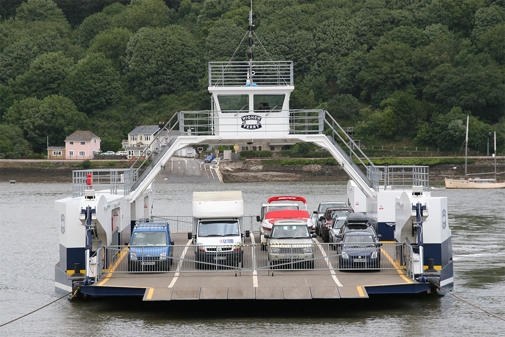
Dartmouth Higher Ferry
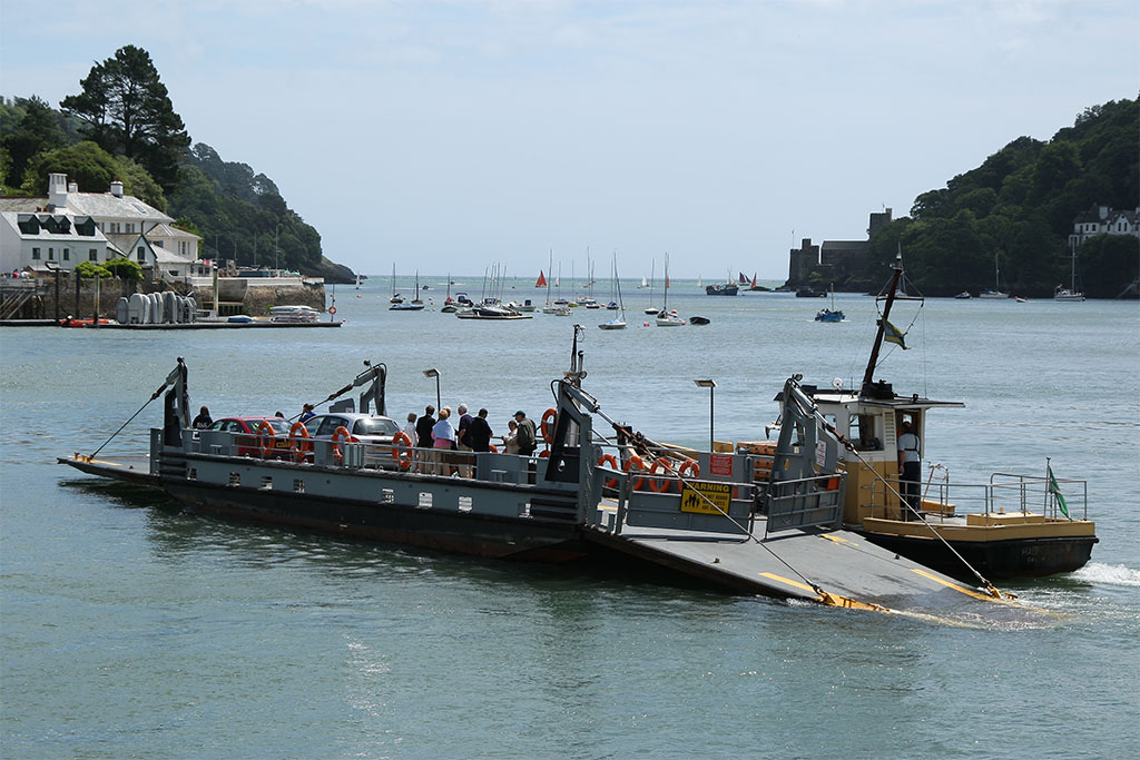
Dartmouth Lower Ferry